|
| Me crossing the last snowfield on top of High Pass. |
Back during the summer I was looking at my huge map of the central cascades for some trails for my buddy Erik and I to hike. There was one hike that looked great. It was near the cabin at Lake Wenatchee, had some elevation promising good views, and made a loop that looked like it could be accomplished in three days. The trail would also be a bit of a challenge for us. It was a few miles longer than anything I had hiked before and had a four mile segment that wasn't shown on any official maps. After doing a bit of research of the area on some backpacking forums we decided to go for it.
 |
| A rough elevation profile of our hike. The mileage should actually be closer to 26 miles. |
In the first week of September there was a good gap of weather which promised nice conditions so we loaded up our packs and headed up to the mountains. Our trail started at the old Trinity mine site up the Chiwawa River and would take us up the ridge directly east of Glacier Peak, south over High Pass, down the Napeequa Valley, and finally over Little Giant Pass back to the car.
 |
| A view looking towards Buck Mountain and the ridge that we would made our way over and down the back side. |
The first day of hiking was great. The Buck Creek Trail took us nine miles up a gentle slope to Buck Creek Pass where we camped the first night. The pass was a small maze of converging trails with a number of campsites scattered around. It looked like there were just two or three other people camped up there with a couple dogs. After setting up our camp we had a feast of instant mashed potatoes, stovetop stuffing, and brats. Mmmmm. Everything tastes better after a good hike.
 |
| Mountain Bog Gentian, one of the more interesting wild flowers I found at Buck Creek Pass. |
 |
| Our campsite for the first night. |
 |
| Sunset with a faint silhouette of Glacier Peak in the distance. |
The next morning we started leg two of our journey: over the High Pass Trail and into the uncharted descent to the Napeequa Valley. The first section of trail was amazing. It traversed over and along the ridges which we had been looking up at the day before. The weather was clear so we had amazing views looking across the valley at Glacier Peak.
 |
| We scrambled up some rocks to go sit on the crest of the ridge. |
 |
| The view looking down the ridge at Liberty Cap (left) and the Buck Creek Pass area down below. |
 |
| Glacier Peak, the 4th highest mountain in Washington. |
 |
| A panorama of the Buck Creek Valley we hiked up the day before. It is hazy due to the forest fire smoke. |
 |
| Triad Lake sitting just below the top of High Pass. |
From the trail reports I had read to research this hike, I learned that crossing over High Pass could be a bit treacherous. Since Erik and I didn't have the gear for safely crossing the the snowfields we had to watch every step. It wasn't bad across first fields which weren't very steep, but for the last section we decided it would be best to scramble up and over the rocks above snowfield rather than risk falling down the icy slope to the rocks below.
 |
| Me with High Pass and the Clark Glaciers in the background. The snowfield on the far left is the one we had to make our way around. |
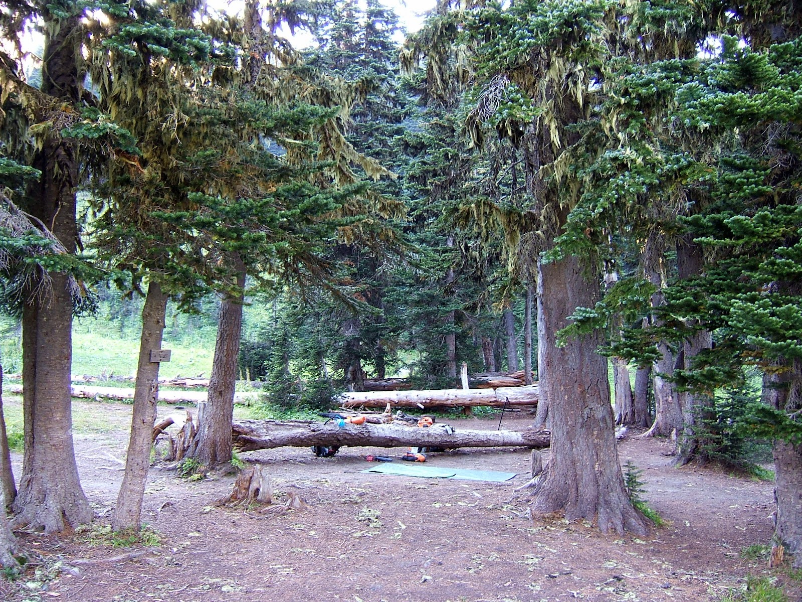
From the pass we followed the unmapped trail down the hanging valley into the Napeequa. From there the trail got a tough. Not the sort of tough where you lose the trail for a minutes, but the sort where you lose the trail for a full day. We weren't lost since we knew exactly where we were in this closed-in valley, but the trail just wasn't where we thought it should be. We followed several rough paths along the Napeequa River only to have them disappear in to dense thickets of alder. We gave up trying to find the real trail so we crossed the river and followed the deer trails through the tall grass along our side of the valley. It wasn't long before Erik and I were both frustrated and exhausted from a full day of hiking so when we finally found an old campsite along the river we threw our packs off and setup camp.
 |
| Our camp on the south side of the Napeequa near Louis Falls. |
On the start of our 3rd day we could see on our map that we still had a good 12+ miles back to the car. That was a bit discouraging since we had no idea how bad the rest of the Napeequa Valley would be. We made our way through the woods along the river until we got to a nearly impenetrable wall of alder thickets. Our best way to get past it and down the valley was to wade the river while hopping between the rocks and alder along the banks. It was slow progress especially since the Napeequa is a cold river. The name means white water. Not the rafting sort of white water, but the silty, cold, glacial white water. We did this for a couple hundred yards before finding a path on the opposite bank which led to the real trail. Finally!
But the mighty Napeequa Valley still had more to throw at us.
 |
| Here I am pushing through alder thickets. Uggg. |
So here were are in the Napeequa Valley, tired, wet, scraped up from pushing through the brush, one bee sting on Erik, and we still have one more pass between us and the car. But good news, we were finally on a trail! It wasn't much of a trail, but it at least offered a route through the thickets. We still found ourselves going down dead ends or knee deep in mud from time to time. We encountered even more problems finding the route up Little Giant Pass. We had lost the main trail in the maze of deer trails through the tall grass so we didn't know exactly where to start our ascent up the steep ridge. After almost an hour of searching the hillside for the route and unsuccessfully trying to get a compass bearing on the featureless ridges around us, we spotted two hikers we had passed earlier that day so we followed their tracks up.
 |
| The mighty Napeequa Valley. We hiked from that distant mountain at the end of the valley to where this was shot on Little Giant Pass using little to no trails. |
After a 2000ft ascent up the pass and a knee-breaking 4000ft descent back to the Chiwawa River Road we grabbed our victory beers we had stashed at the ending trailhead three days before and started the three mile walk on the road back to the car. Luckily we were able to bum a ride from one of the cars of hikers headed up the road. And the beers worked as an incentive for them to take two dirty, smelly hikers in their car.
In the end, Buck Creek to High Pass to Napeequa Valley to Little Giant Pass was about 8000ft vertical gain and another 8000ft down over about 26 miles. It was the longest and most exhausting hike I've ever done, but I loved it. Awesome views and amazing wilderness. And thanks to Erik for being a great hiking partner and for a few of his photos I stole.